Photos of the Route of the Ancient Calusa Canal in Naples Florida
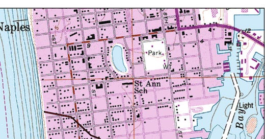
Today my wife and I walked the route of the ancient Calusa canal in Naples, Florida. The canal was about one and one-half miles long and extends in a roughly northwest to southeast direction from Naples Bay on the east end to the Gulf of Mexico at the west end.
Sadly, there is no evidence of the map above ground, but I still wanted to walk the route to get a sense of what the Calusa accomplished. This, along with the large shell mounds in the area, are strong evidence of their skill as builders.
Two maps of Naples showing the canal route.
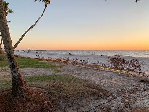
Western end of the canal where it began at the Gulf of Mexico. You can see the Naples Pier in the distance - heavily damaged by Hurricane Ian three weeks ago.
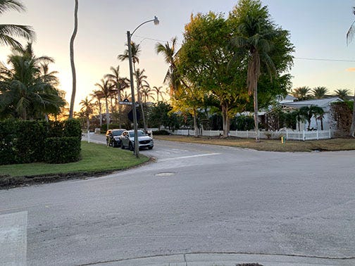
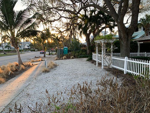
Small road leading to the beach. A residential area with nice homes. As you can see, there is no evidence of the canal. I read it was still partly visible as late as 1928.
Looking west toward the Gulf of Mexico along the approximate route of the Casula canal.
Site of the green asterisk on the aerial photo above. Researchers dug and used ground penetrating radar to find evidence of the canal.
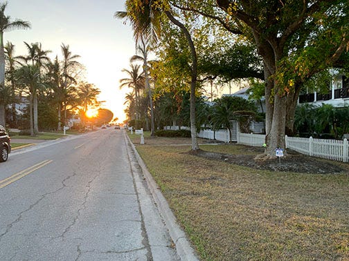
Beautiful street in Naples looking west.
Here the canal route turned more toward the northwest. The picture doesn’t show it, but this area suffered heavy damage from Hurricane Ian. Many low-lying homes were struck by the powerful storm surge. The storm gutted many buildings on their first floors. I wonder how the Casula people coped with these terrible storms.
The canal route heading west from its eastern end.
Approximate location of the eastern end of the canal along Naples Bay.
Another view of the approximate location of the eastern end of the canal. You can see Naples Bay in the distance. No sign that a canal ever existed here unless you look at a map.
Display from Randell Research Center on Pine Island, about 30 miles north. I included this here as it shows what Calusa canals may have looked like.

